Pax Nortona – A Blog by Joel Sax
From the Land of the Lost Blunderbuss
Home - Travel - Hikes and Trails - Notes on an Air Evac 1
Notes on an Air Evac 1
Posted on June 1, 2004 in Hikes and Trails
This is a series describing events which took place on Memorial Day. For those who are worried, I am fine and at home with nothing more than a sunburn. Could have turned out differently, though.
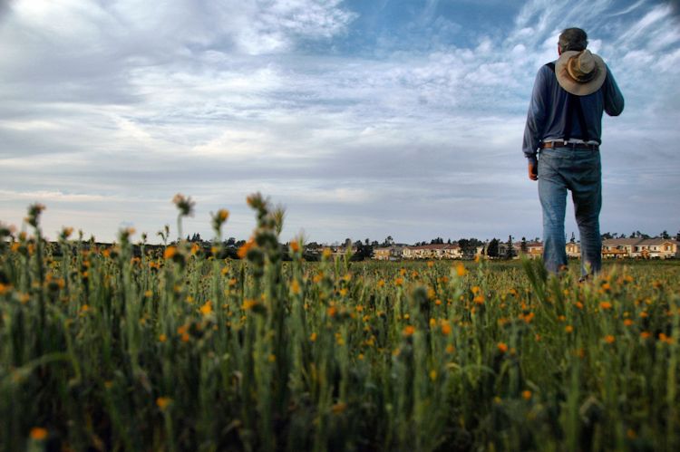
 From the parking lot at Maple Springs Visitor Center, located at the end of Silverado Canyon Road, you cannot see the peak. When we went back to fetch my truck last night, I tried to show Shari the trail we’d taken up the side of the mountain. Heavy growth of Sycamore and live oak blocked the view of the lowest segment which cut through the woods in front of us. Beyond that rose the blue block of the first of a series of hills.
In this country, I know of no vantage point where you can see all the important elevations from a single place. The Santa Anas spike out in all directions, like a network of gigantic curtains, each hiding part of the scenery from parts of the surrounding communities. When you are in them, you cannot see far at all. Many trails lead to the top of Mount Santiago, for example, but you often do not see it until you get to the last ridge.
The route we took was called the Silverado Motorway. The name deceives. Perhaps in the days of Model Ts, a car could negotiate the seven foot wide roadbed. Now in places it is no more than two feet wide, the road having crumbled off and tumbled down the hillside, the pieces lost in the thick chaparral covering the north side of the canyon. It begins by backtracking from the Maple Springs truck trail and then inserting itself in an unnamed box canyon for about a quarter of a mile, steadily rising all the time. Then, after passing the only appreciable shade on the road — two sycamores — it crosses the canyon and begins its real ascent. In three miles, it convulses and pitches up 2000 feet of short forest slope. In more than a few places the mountain resists its encroachment with landslides and deep fissures from rainfall. In two or three places, there was little to call a trail due to the reestablishment of the native white sage, chamise, and buckwheat with its smoke puff flowers.
I have climbed steep trails, (see for example the Vivian Creek Trail which climbs 5600 feet in eight miles to the top of Mount San Gorgonio) but the Silverado Motorway stands, for me, as a most sustained and intense exertion. Switchbacks, loose rock, and the nakedness of the offwhite trail bed conspire to put serious stresses on the hiker. Toyon bushes and tiny scrub oaks which would not otherwise merit your attention become vital waystations on a hot day. You huddle with your companion in the skimpiest shadows, looking across Silverado Canyon to the lush growth of gigantic oaks, pines, and sycamores gracing the northward-facing south side of the canyon. Why, you wonder, didn’t they build the route up that ridge?
Your destination on the Silverado Motorway is Bedford Peak, which is far shorter than Mount San Gorgonio. For this reason, many hikers eager to collect gloating points avoid it. Just considering the numbers, this is an easy mistake to make. Examining it on the map, on the other hand, and calculating its rate of ascent disabuses you of any misconceptions about the easiness of this hike. I didn’t make that mistake. I was prepared for the rigor of the trip in every way: a hat, sufficient water, map, extra food, a first aid kit, a rain fly, and a silver space blanket neatly folded into its pouch. What I did not reckon on was the precipitous rise of the temperature (from the low sixties to the high nineties) and my own determination to make that peak at whatever cost. I broke one of my rules for hiking and that is what got me into trouble.
To be continued.