Pax Nortona – A Blog by Joel Sax
From the Land of the Lost Blunderbuss
Dana Point 1
Posted on December 31, 2002 in Photos
Last night, out in the parking front in front of the Santa Margarita Staples, I observed a man acting very strangely. He kept taking only a step or two out towards the back of the lot and staring over us as we parked. When I got out and made every indication of suspicion, he explained himself: The faltering light, which was only going to last a few minutes, gave an unforgettable color to the smoke blue clouds clustering around Mounts Santiago and Modjeska like kittens around their mother’s teats. I agreed that they were worth the look and joined him for a second or two. Then I resolved to download the last images of the year from my camera and post them here.
 Click on image |
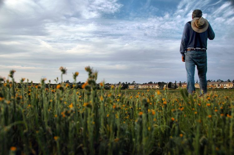
These pictures are from the last, slender neck of wild land at Dana Point. The rest is concrete, steel, and patches of lawn planted to make dry California look more like bog-saturated Scotland.
On Thursday, January 2, watch for my “Best Photos of 2002”.